Remote Sensing & UAS Analysis
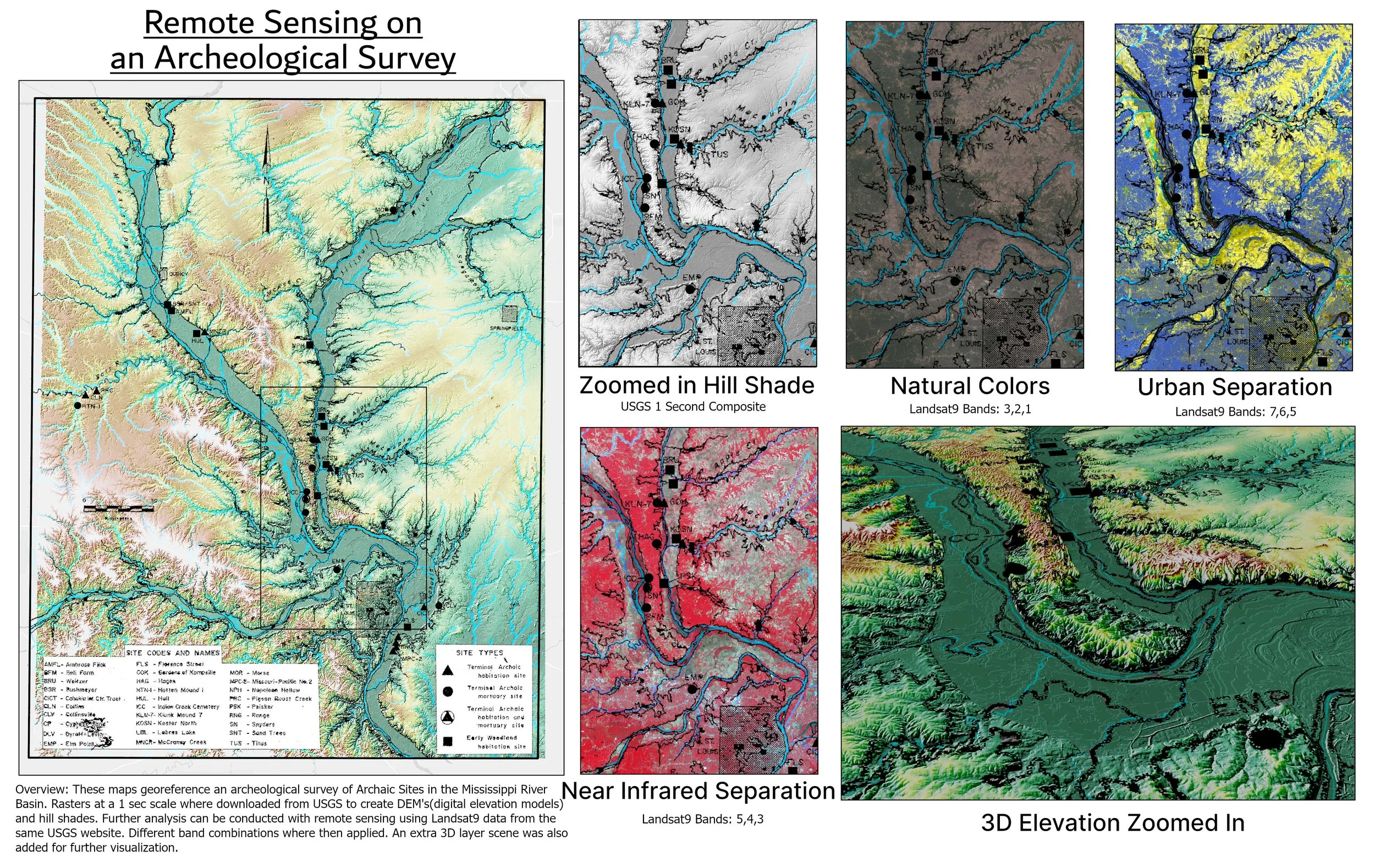
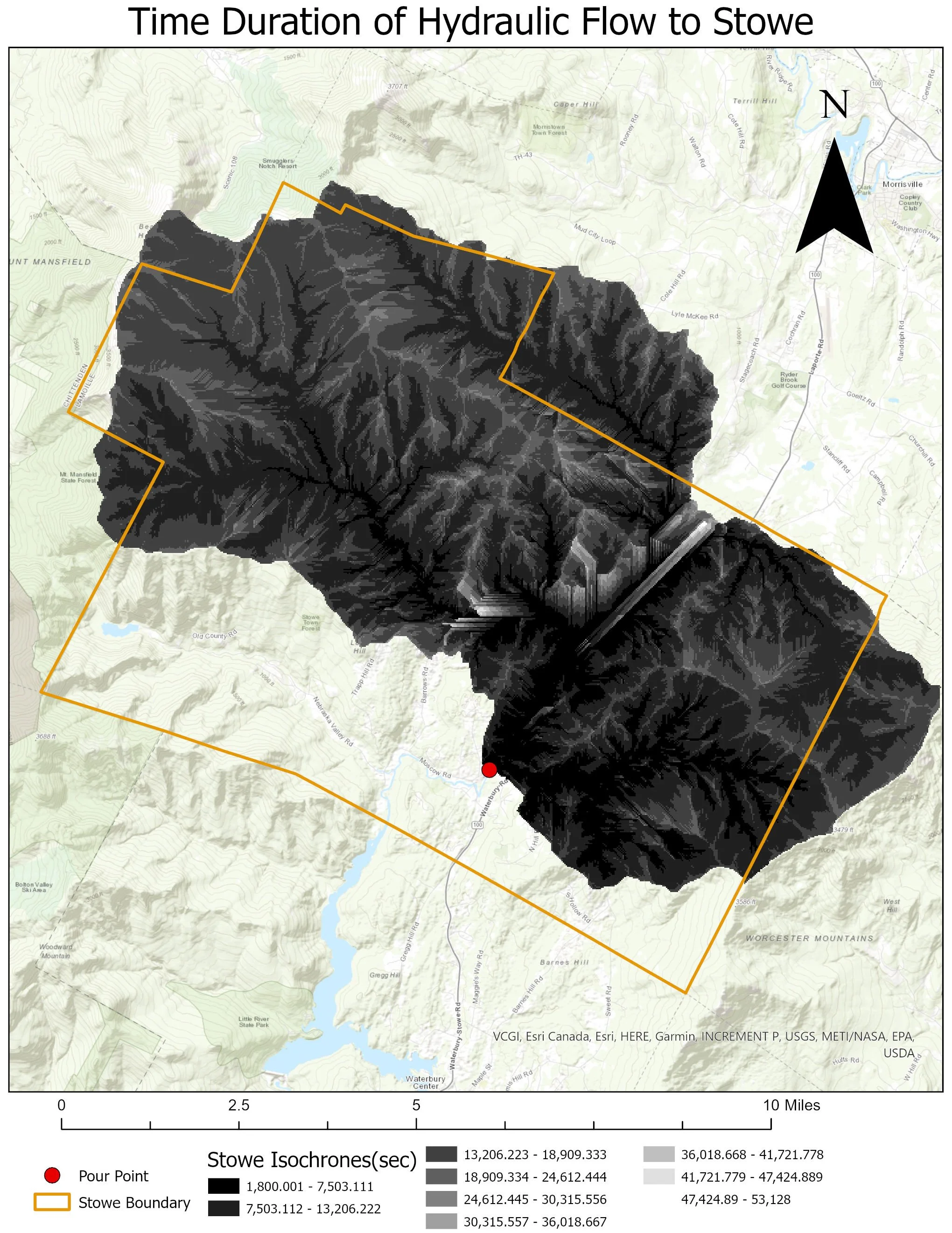
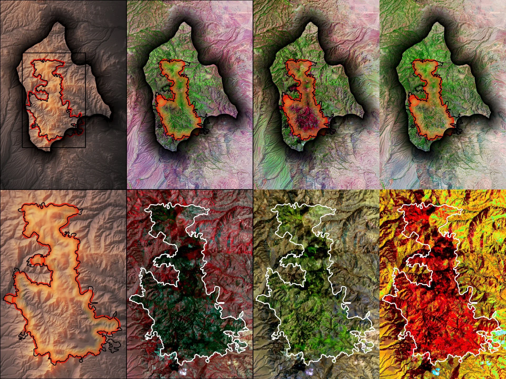
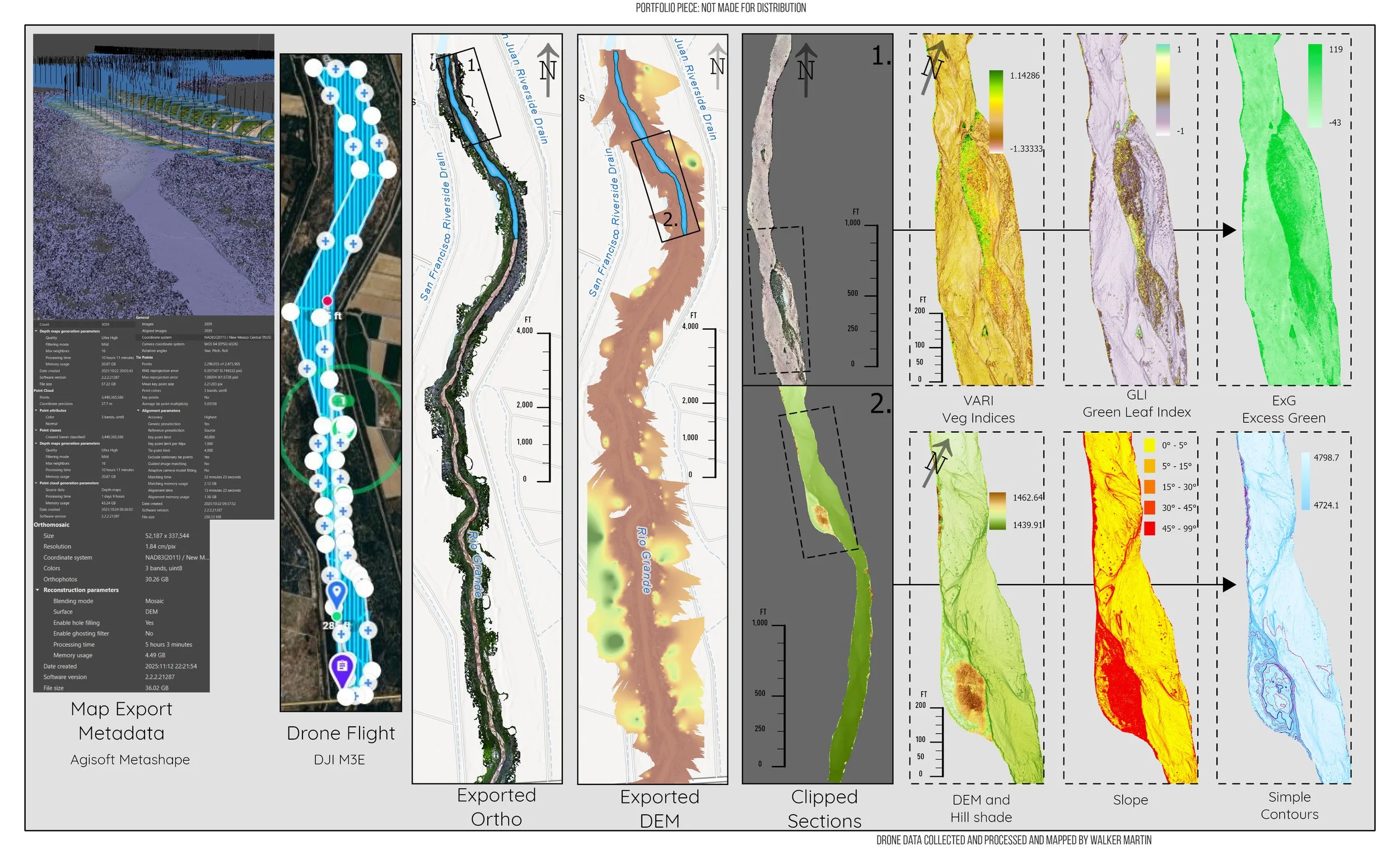
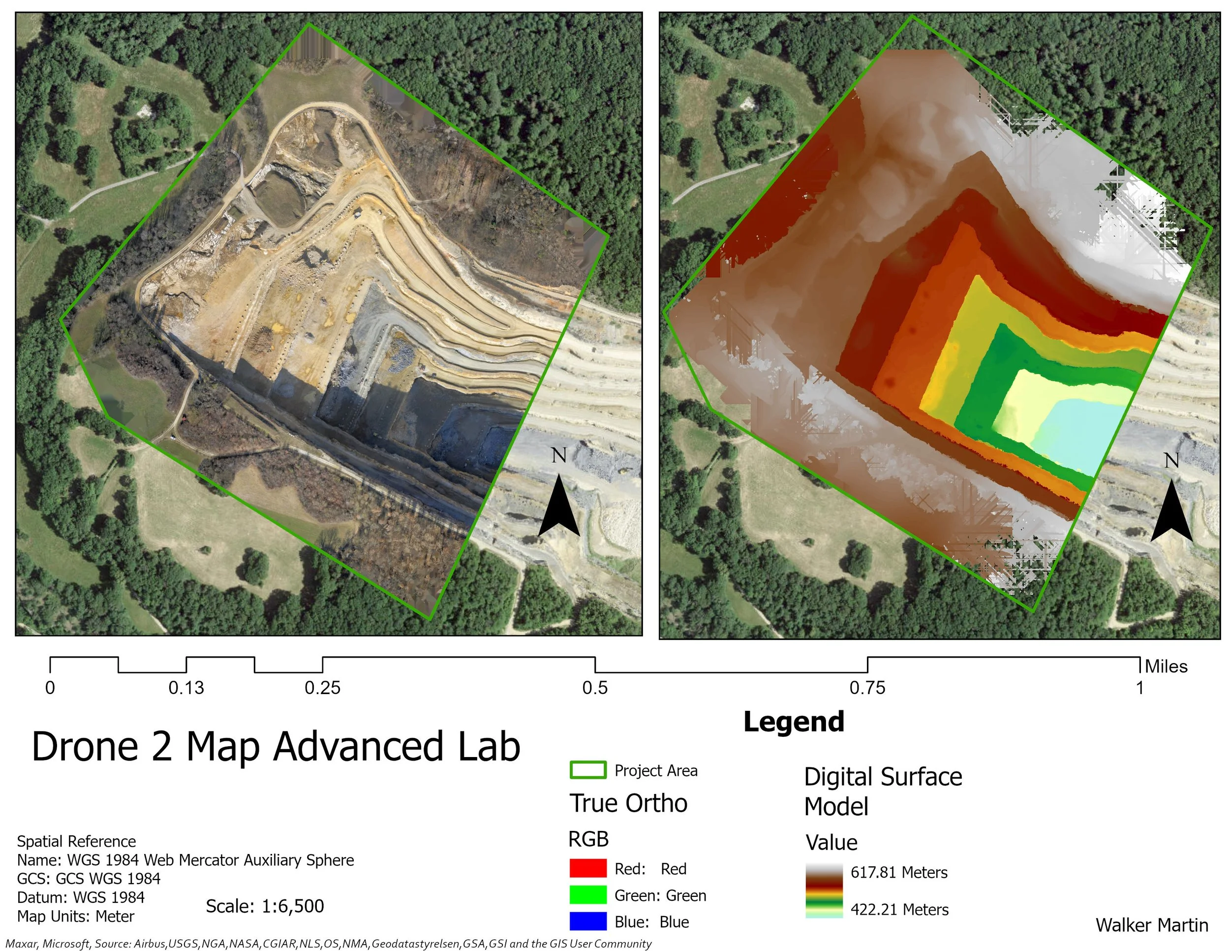
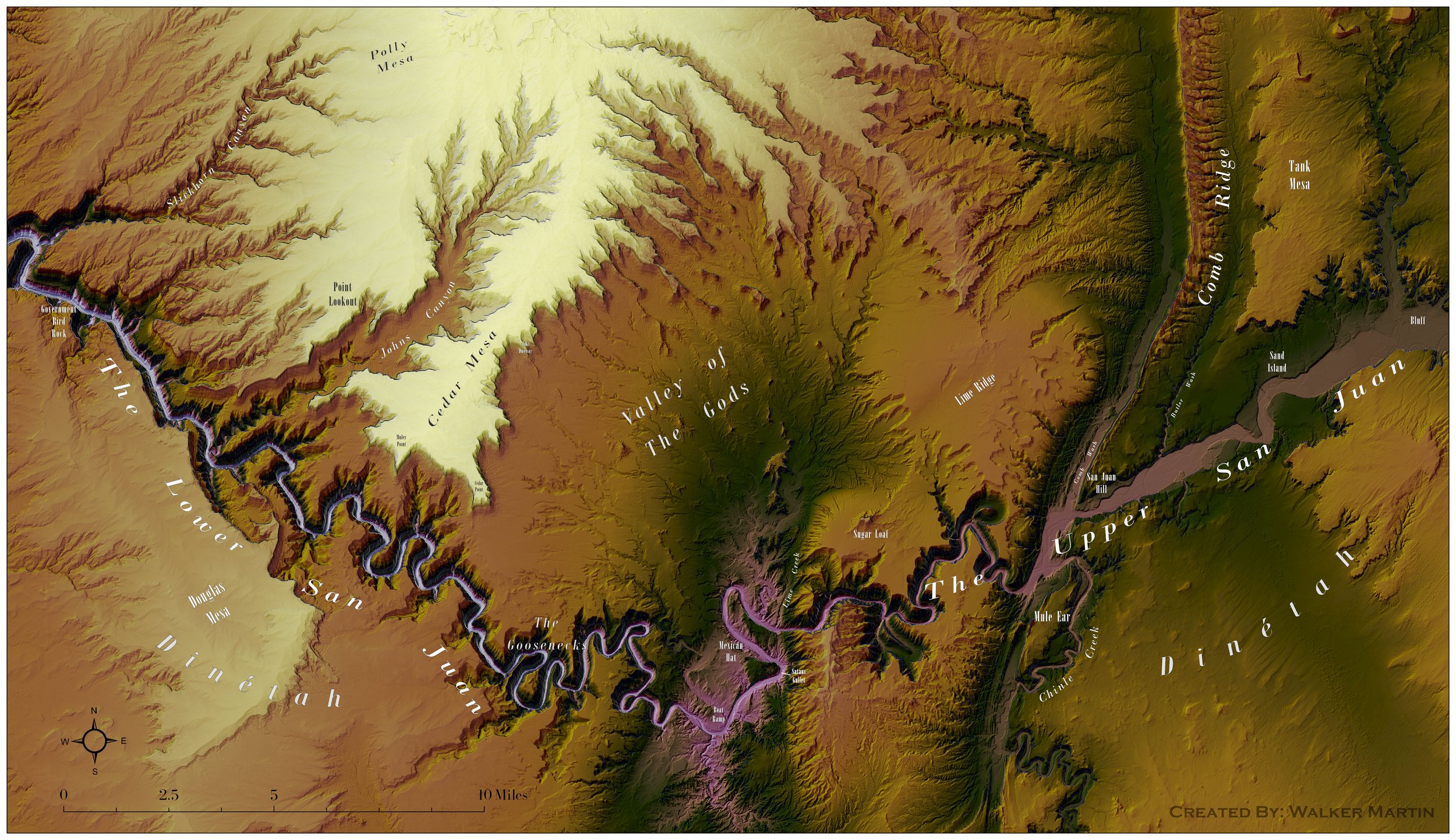
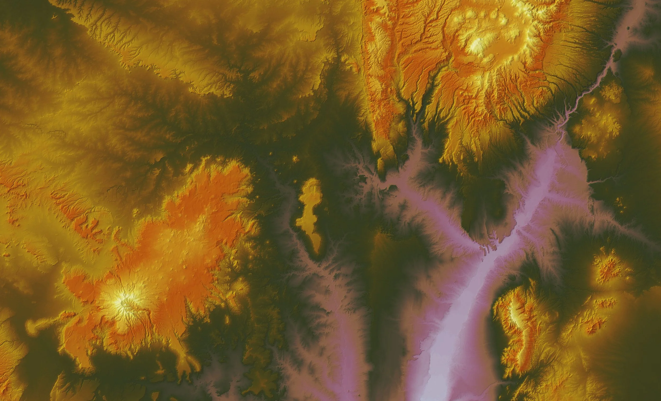
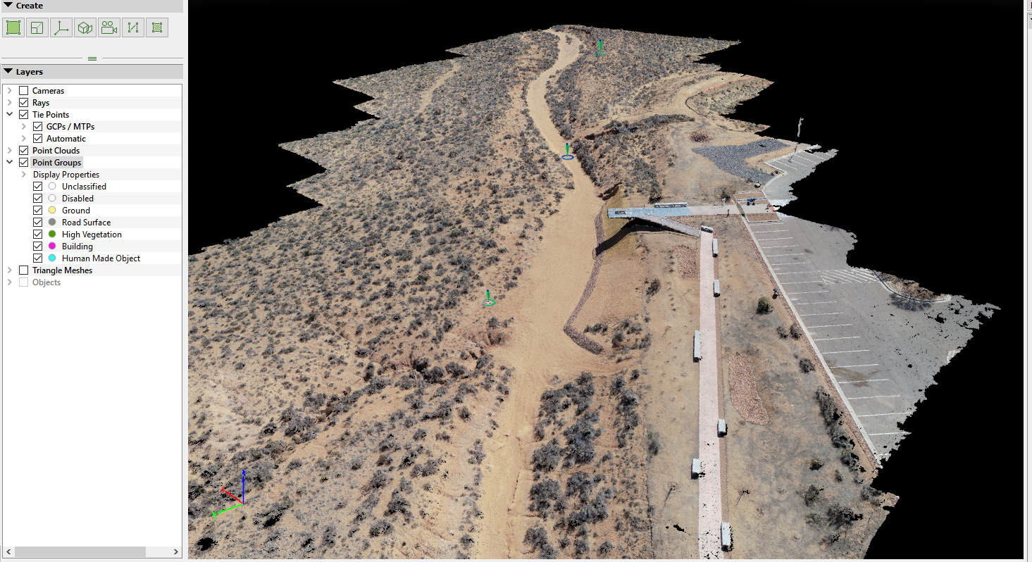
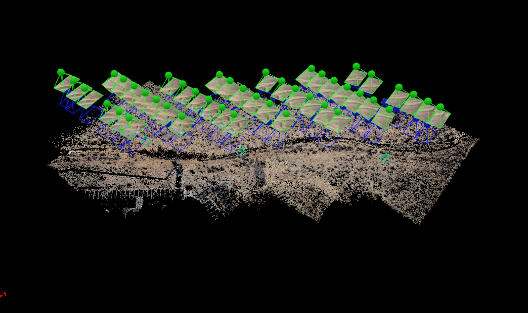
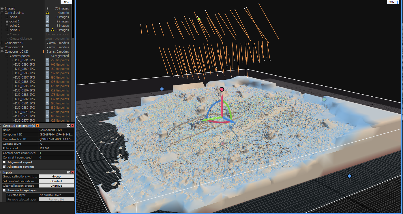
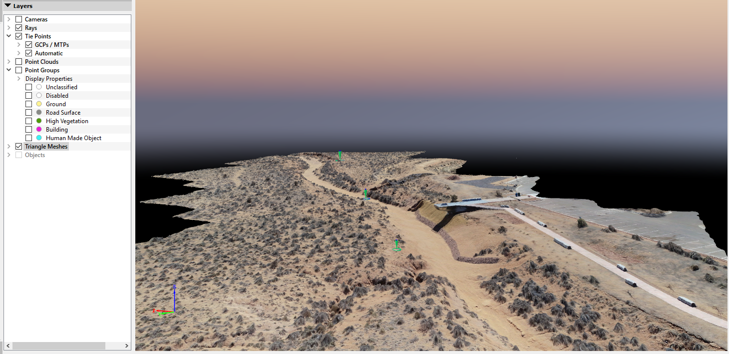
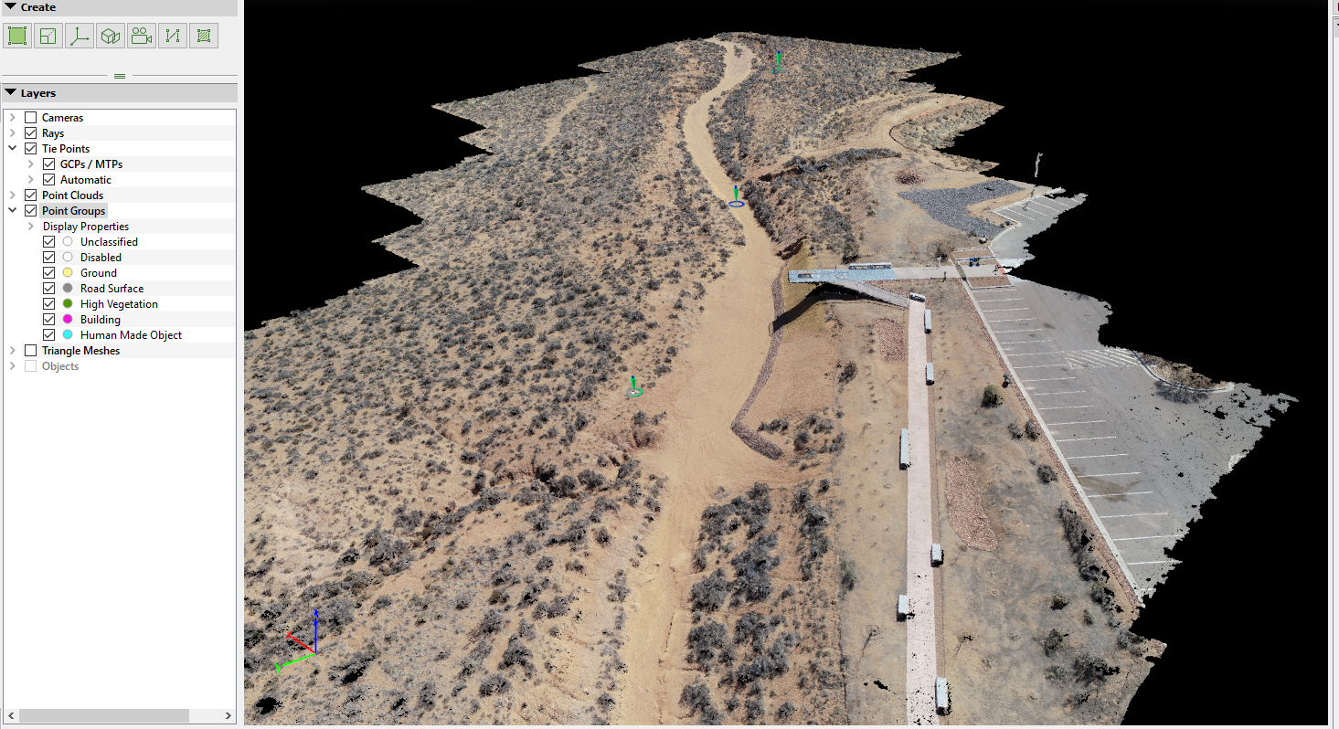
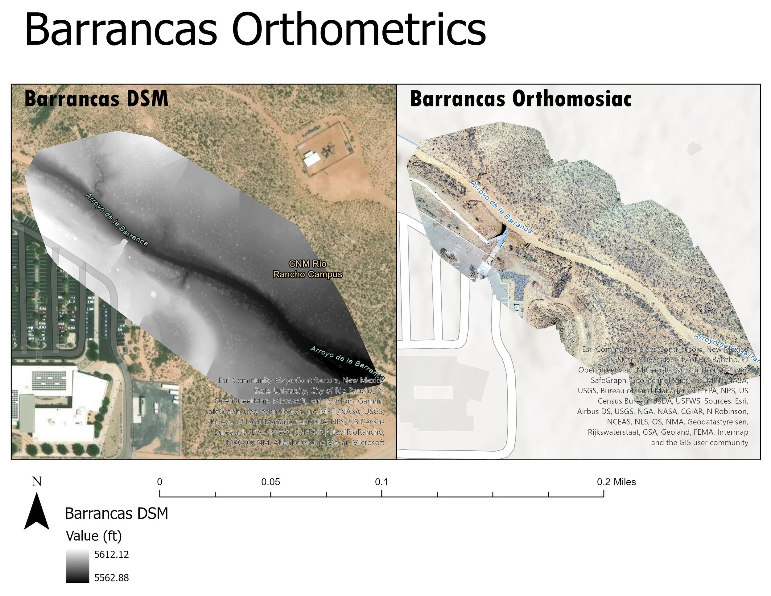
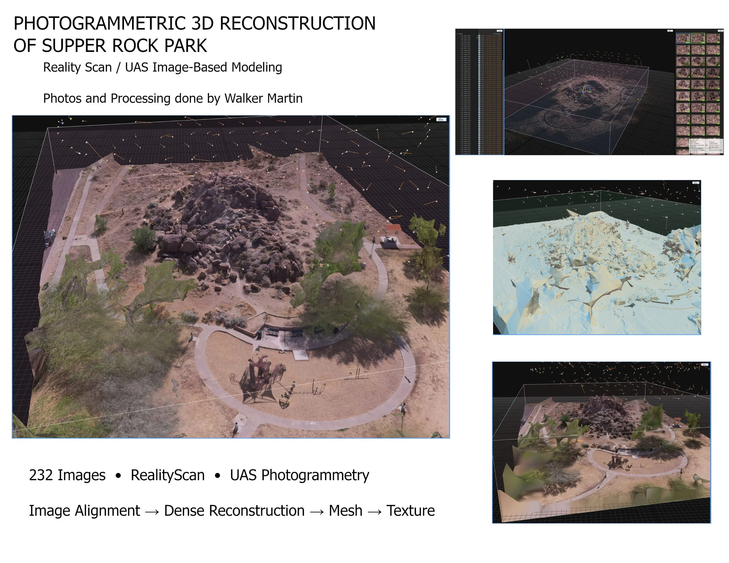
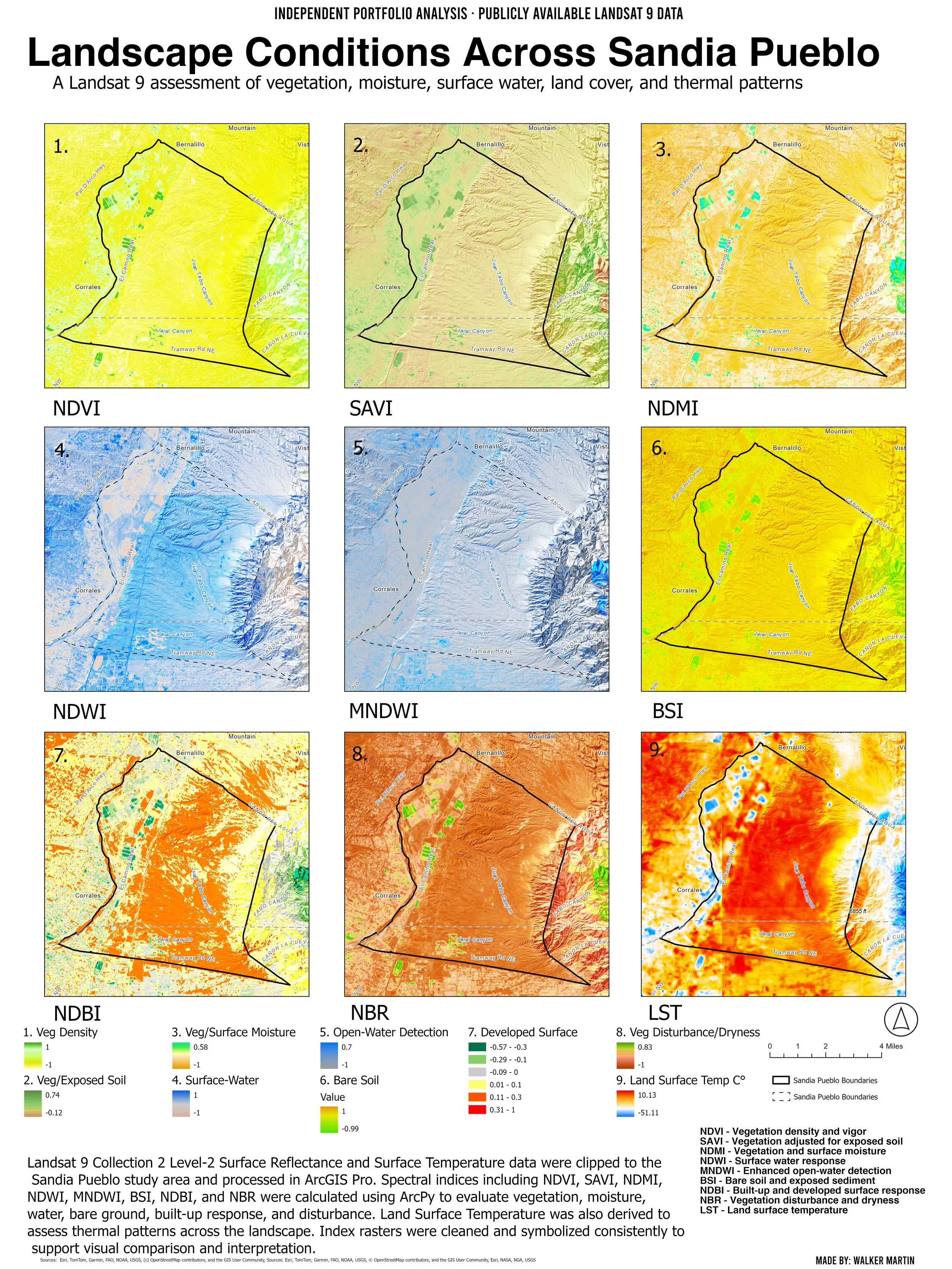
My remote sensing work centers on UAS(Unmanned Aircraft Systems) and Landsat imagery to understand terrain and landscape change. I use elevation models to derive DEM’s, hill shade, slope, aspect, contours, and hydrologic surfaces, and I use Landsat time series to analyze land cover patterns and change over time. I also create high-resolution drone-based models—processing imagery into orthomosaics and surface products that add site-scale detail to broader satellite and DEM analysis..